Streambank and Shoreline Stabilization
Quick Links
Shoreline
Stabilization
For more information and price quotes, please contact Lenny Croote through our Contact Us page.
Streambank
Stabilization
Elbow Creek
Wells
Elbow Creek Natural Channel Design
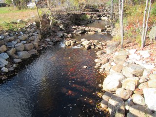
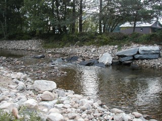
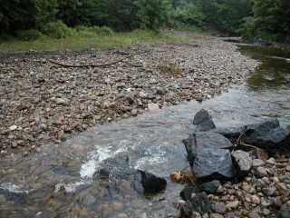
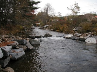
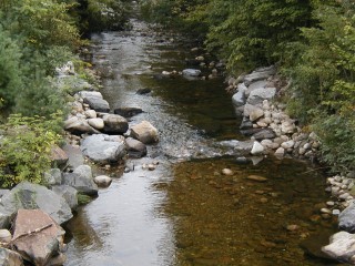
Environmental processes and human-induced practices often alter the natural morphology of a stream, resulting in bank erosion and sediment transport. Natural Channel Design (NCD) is a fairly new concept to CrossVeinInstallationstream restoration that utilizes the natural fluvial geomorphology of a stream to promote stabilization and to reconstruct aquatic and flood plain habitat.
If you would like more information on this project or Natural Channel Design, please contact the Hamilton County Soil and Water Conservation District office at (518) 548-3991.
Elbow Creek Protection Project
Roadside banks along Gilmantown Road that had been eroding for decades are now protected thanks to a project spearheaded by the Hamilton County Soil and Water Conservation District.
Soil erosion is a natural process that, according to the Natural Resources Conservation Service, involves the breakdown and transportation of soil particles by water, wind, and gravity. Approximately 15,000 square feet of roadside banks along Gilmantown Road are exposed with a 60 percent slope.
These threatening conditions spurred the Elbow Creek Protection Project, and the District secured funding through the New York State Department of Environmental Conservation’s (DEC) Water Quality Improvement Project to get conservation on the ground.
“This project came to fruition thanks to incredible partnerships,” said District Manager Elizabeth Mangle. “We couldn’t have done it without the help of DEC, Hamilton County Department of Public Works, Town of Wells Highway Department, New York State Soil and Water Conservation Committee,
Natural Resources Conservation Service, Upper Hudson River Watershed Coalition, Fulton County Soil and Water Conservation District, Team EJ Prescott, and Ward Logging LLC.”
The first phase of project implementation was site preparation. Debris, rocks, and woody vegetation were removed, and all herbaceous vegetation was cut flush to the slope in order to create a clean, smooth surface for the installation of erosion control materials.
The erosion control materials utilized in this project included ProGanics biotic soil media, coconut blankets, and coir logs. These materials are less expensive than conventional erosion control methods, and were chosen for this stabilization project due to site conditions of sandy soils; steep slopes; and wooded, shady locations.
ProGanics, a biotic soil media, were installed with a hydroseeder to increase the organic content of the sandy soil. Grass seed, water, fertilizer, and lime were mixed into the ProGanics then sprayed onto the roadside banks.
Rolled erosion control coconut blankets were installed over the ProGanics to provide erosion protection, and to absorb moisture to feed the grass seed during establishment. A lift was used to place the blankets at the top of the slopes, and facilitated with unrolling the blankets down the banks. Staples were installed to hold the blankets in place. Coconut blankets provide the maximum amount of protection, and will completely degrade over time.
Coir logs made out of biodegradable coconut were installed for sediment control at the toe of the slope, slope interruption, and to slow water velocity. A trench was dug to allow the logs to sit on a flat surface, and stakes secured the logs in place.
“People can watch our Elbow Creek Protection Project video by visiting our website, Facebook, or YouTube pages,” says District Conservation Educator Caitlin Stewart. “The video details the installation process from start to finish, highlighting each of the erosion control materials.”
Erosion of the roadside banks along Gilmantown Road created environmental and infrastructure safety concerns. The ProGanics, coconut blankets, and coir logs installed at the project site will prevent erosion, protect the water quality of Elbow Creek, reduce road maintenance, and save taxpayer dollars.
Sagandaga River
Restoration
Cave Banks, Wells
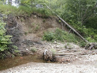
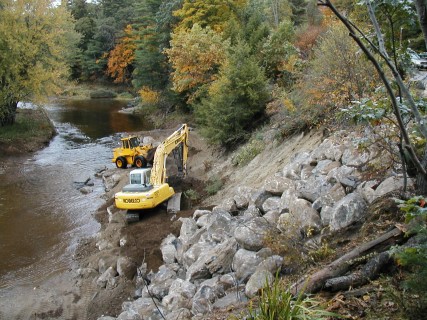
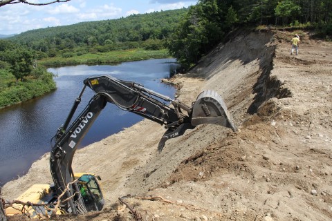
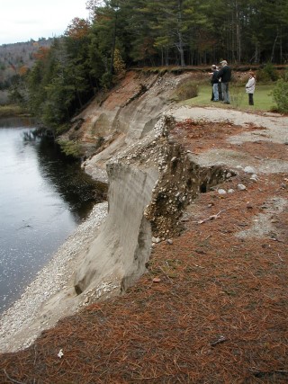
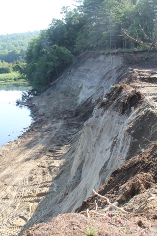
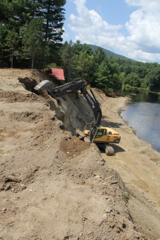
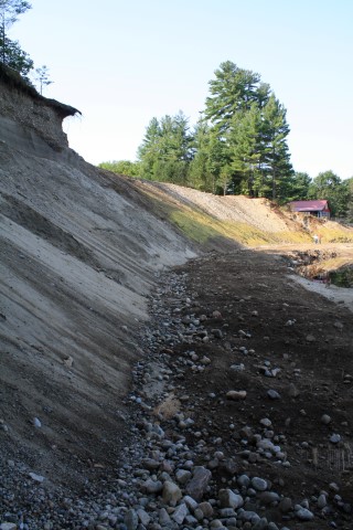
A 400 foot by 70 foot stream bank known as Cave Banks was severely eroding into the Sacandaga River, and transporting sediment into Lake Algonquin. The District, alongside landowners, the Town of Wells, and the U.S. Fish and Wildlife Service partnered to get conservation on the ground. Tree root balls were placed in the river and rubble was piled on top to act as the foundation for the bench. The bank was re-graded and hydroseeded with high test mulch specifically formulated for steep grades to stabilize the soil.
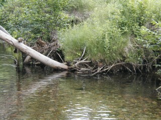
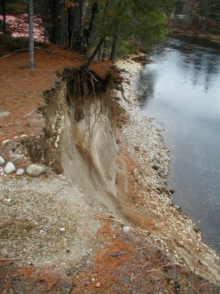
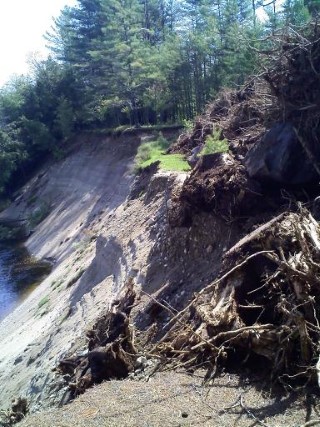
The sandy stream bank is located on an outside bend of the Sacandaga River. When the river was undercutting the toe, or bottom, of the bank, sand collapsed from the top into the stream bed. This sand was washed into Lake Algonquin where it filled in aquatic habitat important to critters like fish and insects. Houses and camps were in jeopardy of falling into the river.
During the early stages of the project in the winter months of 2012, meetings provided a platform for dialogue between agency employees, municipal staff, and landowners. It was during these meetings that the skeletal work for project implementation was fleshed out.
“This project was a perfect example of government agencies working collectively to benefit the environment and the larger community,” stated Towers.
Many people partnered together to take this stream bank restoration project from plans on paper through to fruition. The invaluable Carl Schwartz, USFWS’s New York Field Office, engineered and oversaw the project. Without his expertise in natural channel design, this project would not have happened. The time he donated was a huge cost-saver. The Town of Wells provided excellent equipment operators that assisted with building the bench, stabilizing the bank, and hauling construction materials to the site. The District completed the necessary permits and hydroseeded the bank and disturbed areas. Many thanks go out to the local landowners who gave access to the site from their property and allowed for the storage of materials on their land. All of the people involved understand that partnerships result in projects that benefit neighbors and the environment.
Griffin Road, Wells
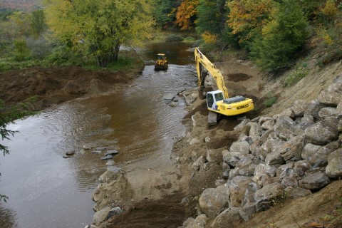
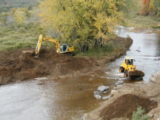
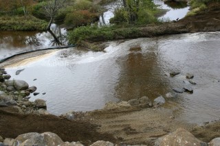
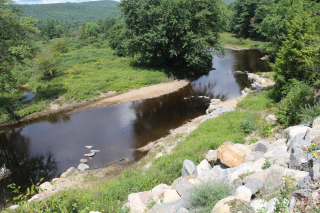
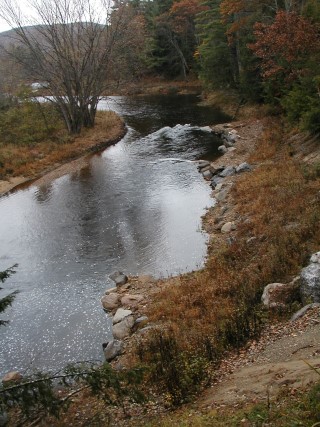
For years, aquatic habitat essential to brook trout and other species has been compromised due to a migrating channel of the Sacandaga River that has eaten away at a 300-foot reach of a 30 foot riverbank on Griffin Road. Partners including the District, U.S. Fish and Wildlife Service, Hamilton County Department of Public Works, and the Town of Wells Highway Department stabilized the bank using Natural Channel Design. This stream restoration method returns a river to its natural state after disturbance, prevents riverbank erosion, and reconstructs flood plain habitat.
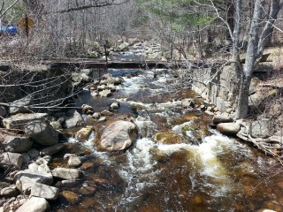
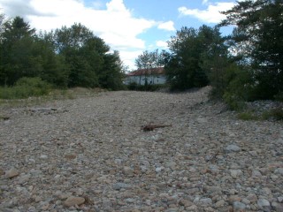
The section of the Sacandaga River that flows south towards the Town of Wells into Lake Algonquin possesses a steep gradient that drops 700 vertical feet over 8 miles. As the river flows towards Griffin Road (County Road No. 8), gradient lessens, and the river becomes braided with 4 channels intertwining on the landscape. One of these channels, the eastern channel, has laterally migrated towards the left riverbank, causing severe erosion that threatens the stability of County Road No. 8, utilities including water, electric, and phone, as well as residential property. The riverbank has been eroding at a rate of approximately 2 feet per year. If the situation was not alleviated, County Road No. 8, utilities, and property would eventually be eroded into the Sacandaga River. Sediment has been deposited into the river, decreasing water clarity and filling in critical habitat for aquatic organisms.

